Devil's Hole Trail (2006)
Matt and I backpacked up to the summit of Hawksbill Mountain (4020 feet) and then took the Devil's Hole trail to the bottom of Linville Gorge where we camped out beside the river (2303 feet).
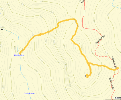
Track View the track as a PDF
This is a plot of our hike on a contour map. We started at the Hawksbill Mountain trailhead (far left), proceeded to the summit of Hawksbill Mountain, and then down the Devil's Hole trail to the Linville River where we camped (far right). The second day we hiked back out, backtracking the entire way with the exception of the Hawksbill Mountain summit.
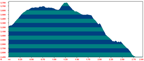
Elevation Profile
This is the elevation profile for the first half of the hike. The battery in my GPS died at the campsite so I didn't track the return hike, although it is simply the same thing in reverse. This is a very steep trail, gaining about 1,100 feet in just over a mile.
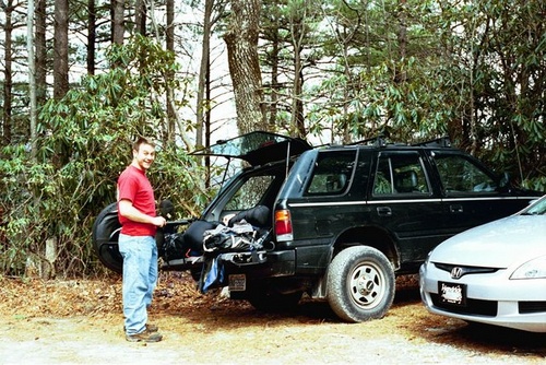
Packing up Matt by the car loading up his gear.
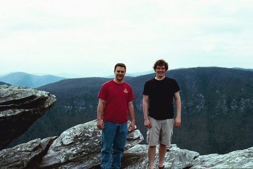
Hawksbill Summit Matt and Jason on the summit of Hawksbill Mountain.
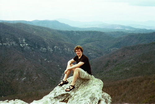
Hawksbill 2 Jason on the summit of Hawksbill Mountain.
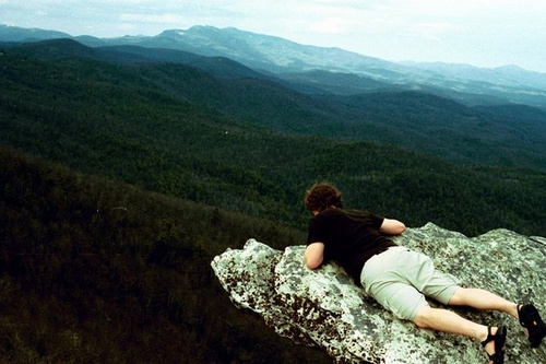
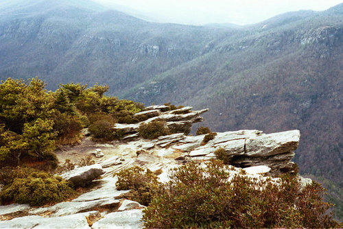
Hawksbill 3 Jason on the summit of Hawksbill Mountain.
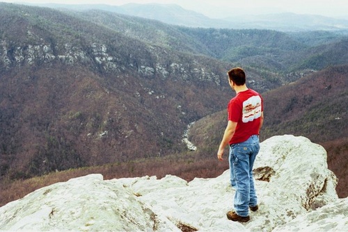
Hawksbill 4 Matt on the summit of Hawksbill Mountain.
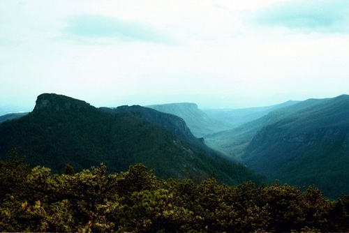
Table Rock Table Rock Mountain.
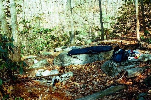
Hawksbill Campsite A primitive campsite on Hawksbill Mountain.
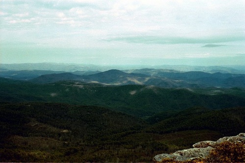
Hawksbill View Fog on the mountains, view from Hawksbill Mountain.
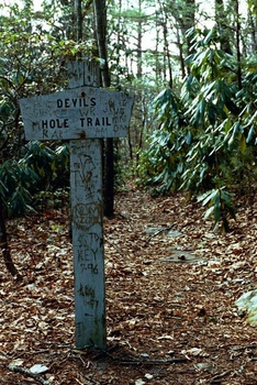
Devil's Hole Devil's Hole Trailhead sign.
Devil's Hole 2 Matt at the Devil's Hole Trailhead sign.
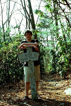
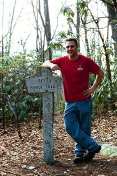
Devil's Hole 3 Jason at the Devil's Hole Trailhead sign.
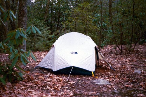
Tent We set the tent up at the bottom of the trail, beside the Linville River.
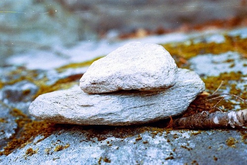
Fire Pit The fire pit at our campsite with some nice big rocks to sit on.
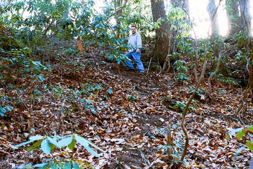
Coming to the river Matt coming down the trail to the river.
Trail marker A trail marker.
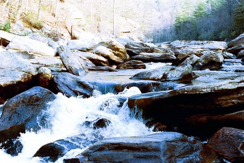
Linville River Rapids in the Linville River near our campsite.
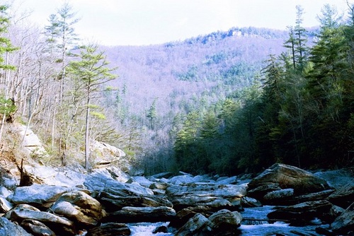
Linville River 2 A view of Linville Gorge from the river.
Matt by the River Matt standing by the Linville River.
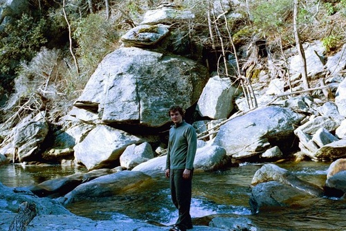
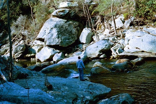
Jason by the River Jason standing by the Linville River.
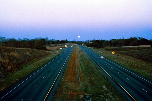
Highway Moonrise A moonrise over the highway on my way back to Durham on Interstate 40.